Public access to esplanade strips
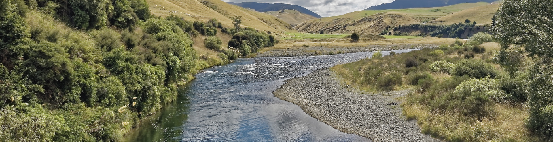
Esplanade strips are easements over private land alongside some sections of river, lake and coastline. They're usually 10–20m wide.
Access
Esplanade strip use must be compatible with conservation values. Public access varies across different locations and may be prohibited.
Purposes of esplanade reserves and esplanade strips
Our maps
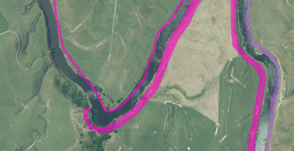
Esplanade strips appear (in pink) in our maps under the layer ‘Public Access Areas’. Open map
Where an esplanade strip does not include public access, we do not include it in our maps.
Creation and administration
Esplanade strips are created under the Resource Management Act 1991 when land is subdivided, as an alternative to esplanade reserve. They are agreed between the private landowner and the local territorial authority.
The easement remains in the landholder’s title and endures through changes in ownership.
Esplanade strips are administered by the local territorial authority.
Erosion and accretion
Esplanade strips move with the relevant water boundary to ensure public access endures into the future.