Whanganui to Bulls
-
Walking
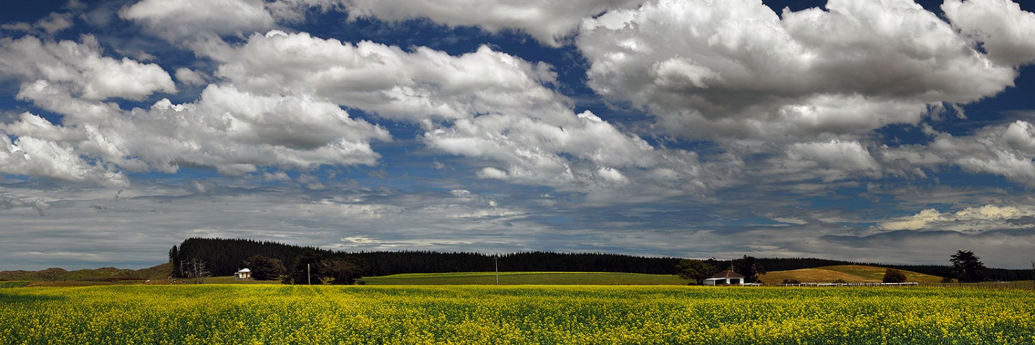
Te Araroa trail section: This section includes a beach walk and a low-tide crossing of Turakina River.
As you come out of Whanganui, take No 2 Line Road which can be accessed by the following options:
- 1. Crossing the City Bridge from Taupo Quay at Victoria Avenue
- 2. Climbing the Durie Hill (355) steps to the tower at the top, or
- 3. Taking the Durie Hill Elevator (closed Christmas Day). 8am-6pm Mon-Fri. 10am-5pm Sat and Sun. $2 charge.
If you take the steps or elevator following Durie Street to Portal Street, this then carries on to N02 Line. Walk to Fordell which is approx 14kms, turn right onto Warrengate Road for approximately 4km and walk to SH3. Turn left and walk for 3km and cross the Whangaehu River Bridge. Turn right across the bridge into Whangaehu Beach Road and walk to the end. Go through the gate and carry on following the track to the beach. From Whangaehu to the Beach is approximately 8km. Turn left and walk along the beach till you get to the Turakina River.
Turakina River - Koitiata
Check the tide and cross at low tide between the markers, which are approximately 700 metres inland from the river mouth. The current map suggests walking across the river mouth along the coast, but this may now be unsafe with changing tides. After crossing the river do not attempt to cross the swamp. Turn right and follow the left (south) bank of the river for approximately 300 metres to pick up the vehicle track leading to the beach settlement of Koitiata.
Santoft Route - 18km / 7-8 hours
Head south along the beach. Look for two orange markers by a stream bed after approximately 13.5km, at km 1420. There are other tracks entering the forest that do not fit the current Te Araroa route. You will see a fire lookout on top of the dunes in the near distance. If you get to the fire lookout you have gone too far by about 1km, go back, do not enter the bomb range.
Then turn left and follow the blaze markings to the forest road. Follow the forest road which leads southeast for approximately 2.5kms until you come across Raumai Road, then walk for approximately 11km on Ruamai Road and 4km on Parewanui Roadto Bulls Township.
Fire is serious threat to these forests. For safety reasons camping and fires are not permitted on the beach and through the exotic forest.
Conditions
Potential hazards
- Vehicles on road or track. Take extreme care on SH3, and heading into Bulls
- Farming operations
- Forestry operations
- Track exposed to sun, wind or cold
- Few water sources
- Fire danger in forests
How to get here
Northern Start: City Bridge, Whanganui
Southern End: Junction of High Street (SH1) and SH3, Bulls
Transport
Bulls
- InterCity - P: 09 583 5780 - E: info@intercity.co.nz
- Fielding Taxis - P: 06 323 7117
Accommodation
Fordell
- Headlands. 12 km from Whanganui just past Fordell. Approximately 18 kms from Whanganui Top 10 camping ground where the river journey ends. The track from Whanganui to the next camp is a long one, walking the road and with a river crossing to time with low tide. Headlands is a great place to catch your breath and break up the journey. We are a bed and breakfast with 3 rooms inside the house listed on booking.com or you can call direct. Annette and Steve Cox P: 027 251 9302 174 Kauangaroa Road, Fordell, Whanganui
-
The ‘Ol Shack out the Back has been lovingly restored in a sustainable approach. Enjoy going back to basics and staying in a bygone era type rustic bush hut style. 1 Queen bed, bathroom with shower and toilet. Microwave, bbq cooking, toaster, jug. Our water is sourced from the local scheme, It’s old and the water pressure is low. Filtered water is provided for cold drinks, tea & coffee. It is a back to basics / rustic charm bush hut type rustic type cabin. ***There is the option of adding a single trundler type mattress on the floor for a third person. Please ask if you’d like this option added. $100 per night if booked directly through me Carol 0276562290, find on airbnb here.
Koitiata Village
- Koitiata Camp Ground — End of Te One St, Koitiata — P: 0272816691 — Campsites (powered and unpowered) and coin-operated hot showers — your host is Diane.
Bulls
- "Mayhem Roost" is back up and running after a year off from hosting walkers. If you need a safe place to rest your bodies, there is a soft bed in a hut, plenty of tent space, BBQ area with power, hot shower, cold pool, and a cold beer. Prior knowledge of arrival would be nice but we appreciate phone service is limited — $20.00 pp/night — Mike and Jo, 48 Brandon Hall Road, Bulls (480 metres off Trail) — P: 027 3221 040
- Lancewood Lodge — accommodation available on the trail at 170 High Street, Bulls
- 3br self-contained cottage accommodation, 63 Johnson St (just off High St on the way into Bulls) — Mary and Paul Sharland — P: 06 3221789 — E: paulsharland@xtra.co.nz
- Bridge Motor Lodge and Caravan Park — Also has cabins and self-contained motel units — 2 Bridge St, Bulls — P: 06 322 0894 — E: bullsmotel@infogen.net.nz
Food And Supply
Bulls
- Rangitikei Junction has a foodcourt, toilets and Four Square minimarket.
- Platts Pharmacy is open 8.30-5.30 weekdays and 9-12 Saturday.
- Evening meals available at the Rangitīkei Tavern.
- Four Square Supermarket - 144 Bridge St - P: 06 322 1236
- The Dairy Bulls - 113 High St, Bulls - P: 06 322 1218
Track Elevation and Map


Total 1 photos. Click image above to view them all.
More information
Before starting Te Araroa either as a through-walker of the whole country or a section walker, please register on Te Araroa website. Please also visit the website or download the app for detailed maps, trail alerts and other relevant information.
We encourage you to continue gaining the skills and knowledge required for a safe trip. The NZ Mountain Safety Council has lots of free resources and information you can use. These can be accessed via www.mountainsafety.org.nz.
We recommend trying these online learning tools:
Additionally, check out the range of helpful videos available from the NZ Mountain Safety Council YouTube channel.

Page last updated: Feb 7, 2024, 11:30 AM