
Filter by Date:
Regional field advisors
Contact an advisor to investigate or negotiate public outdoor access.
Pocket Maps
Get the app to take our maps with you just about anywhere.
Pocket Maps new app launch
Posted under: Media release
Published 25 August 2021
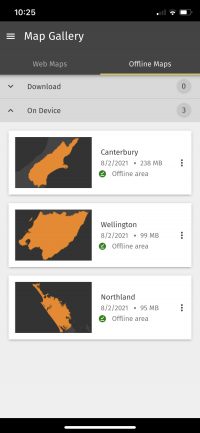
Pocket Maps, available now via the Apple App Store and Android Play Store allows you to view accessible areas and public conservation land at the press of your fingertips. Maps can be viewed online with a Wi-Fi connection or downloaded to be viewed offline.
Ara Hīkoi Aotearoa the New Zealand Walking Access Commission have received ongoing feedback that map users struggle to understand public access boundaries when outdoors. Now with the help of this map, people can check their location and their access.
Pocket Maps lets you search your exact location by region and through the map layers, understand what type of access land you are currently on or looking to hunt, fish or mountain bike through.
The maps are split into regions and available to be downloaded to use offline.
App features include:
- Public access area viewing
- Offline capability
- GPS positioning
- Draw and measure routes
The public access areas layer contains
- NZ road parcels
- Reserve land
- Walkway easement
- Esplanade strips
- Esplanade reserves
- Easements
- Department of Conservation public land
This app is not a substitute for a GPS unit and should be used in conjunction with one if going outdoors.
Page last updated: 14 December 2023