
Birchwood to Merrivale
-
Walking
Te Araroa section: This heartland-Southland journey travels across private farmland and exotic forest. You finish at the farming locality of Merrivale, at the northern foot of the Longwood Range
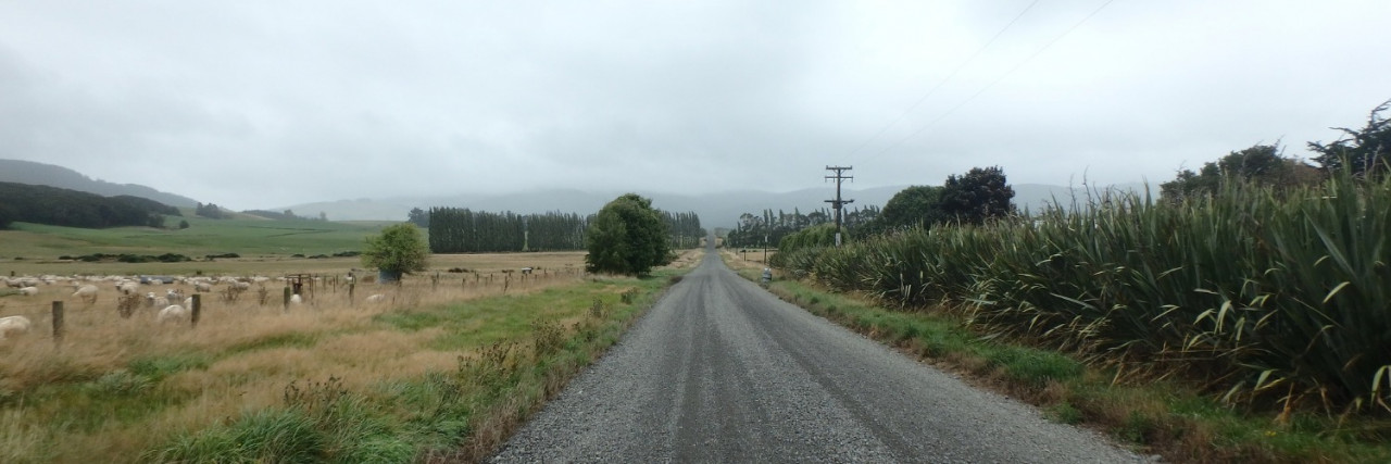
The track starts on Struan Flat Road. Walk 250m to the Ohai Clifden Highway. Turn right here and walk 650m to the intersection with Birchwood Wairio Road. Turn left onto this road and walk 2.4km to the edge of the eucalyptus forest fringe.
Woodlaw Track - 14.2km / 7-8 hours
This track crosses private property, and ongoing access is dependent upon the goodwill of landowners: Matariki Forests, DT King & Co Limited, Birchwood Station and Stephen Blair-Edie. The track is across farmland and through exotic forest, save for a small indigenous forest section within the Woodlaw Forest Conservation Area.
In order to comply with the daylight hours condition, trampers should start out early in the morning and make steady progress towards their final destination.
If you encounter farm staff moving stock en-route, please step well aside and wait quietly until all animals have passed by. Take direction from farm staff as necessary.
Do not rely on drinking water being available en route.
The track leaves the road on the right here and travels up the forest fringe beside a fence line.
Beyond the eucalyptus section, the track crosses a stock lane and continues up a fenceline to the base of the Twinlaw Range. The track line turns left here and sidles east to join with a grassed farm track. This track climbs steeply up the hill face to the right. As the track nears the main ridge, it veers south and becomes less distinct on the ground. Marker poles continue to show the way.
Once on the main ridge, travel is along the ridgeline to the left (southeast). This is on a light but distinct farm track that leads up to the Birchwood Station/Twinlaw Forest boundary gate. Beyond the gate, Te Araroa enters an exotic forest on a 4WD track, then traverses the Twinlaw tops on privately owned forest roads, which make for pleasant and easy walking. You’re unlikely to encounter vehicles unless there is some forestry operation underway.
There are a number of forestry road junctions, but marker poles are in place to show the way through. For the sake of completeness, turn left onto Trig Road, then right onto Twinlaw Road. Keep left at the Feldwick Road junction and continue along Twinlaw Road. This is towards and through the junction with Chandler Road. Te Araroa leaves Twinlaw Road on a 4WD track on the right-hand side of the road. There is a turning bay at the end of this track, right on the Twinlaw/Woodlaw Forest boundary.
Te Araroa enters the beech forest from the turning bay. This is on a tramping track, within the Woodlaw Forest Conservation Area. The track traverses uneven ground towards Woodlaw Peak then descends towards a narrow strip of exotic forest. Here it joins with a 4WD track that leads to a junction. Turn right at this junction onto the forestry road, and soon the road emerges from the forest. It then continues down a long fenced straight, which leads out through farmland towards Scotts Gap-Feldwick Road. (It is 13km to the right via Lower Scotts Gap Road and Otautau-Tuatapere Road to Otautau.)
From the Woodlaw Track trailhead, turn left onto Scotts Gap-Feldwick Road and walk the road shoulder through Scotts Gap junction and onto Upper Scotts Gap Road. Continue down Upper Scotts Gap Road, then turn right and walk up Hewitt Road. The Island Bush Track starts up the road at the gate on the exotic forest fringe. This is a 3.5km connection.
Island Bush Track - 4km / 1.5 hours
This track is through the exotic forest and then across farmland. It is entirely on private property, with access provided by 2 landowners — Matariki Forests and Mike Whale.
The track starts at the forest entry gate near the top of Hewitt Rd. If arriving by car, it’s best to park near the bottom of the road and walk up. Continue up Hewitt Road beyond the gate and through the forest. This is to a junction with Loop Road.
Turn left onto Loop Road, the first of 4 junctions. Stay left again at the second junction, right at the third, and left at the fourth junction.
From the forestry road end, a foot track leads down between the pine tree rows to the farm boundary.
Once across the boundary fence, turn left onto the farm track and descend. Markers show the way down the track and across a paddock to a pine shelter-belt. The track then turns right and follows this line of trees to a gate. Through the gate, the track crosses a bridge and then heads diagonally to the right towards a gap in another shelter-belt. Once through the gap, the roadside stile is visible ahead to the right. (It is left for 13km to Otautau, and Tuatapere is 28km to the right.)
There is parking opposite the trailhead.
From the Island Bush Track trailhead, turn right (west) onto Otautau-Tuatapere Road and walk 2.5km, past Gill Road to the Merrivale Road junction.
Conditions
Lambing closure between 9 September and 9 November inclusive.
Forestry work closure of Island Bush Block from km 2822 to km 2887, 2nd May 2022 until September 2022
Potential hazards:
- Vehicles on the road or track. Take care on the roads
- Farming operations
- Forestry operations
- Few water sources
A number of conditions apply to enable walking access to co-exist with farm and forestry operations. These conditions include an annual track closure for lambing from 9 September to 9 November inclusive. The remaining conditions are set out below, and compliance is important, both out of respect for the landowners and to help ensure Te Araroa walkers continue to be able to use this critical link:
- Access is only for tramping parties of 8 or fewer members and during daylight hours
- Give way to stock and farm/forestry operations
- No camping, fires, vehicles (including bicycles), horses, dogs, or firearms
- Carry all rubbish out
- No commercial activity, including guiding or organised events
How to get here
Northern Start: Struan Flat Rd, Birchwood
Southern End: Junction of Otautau-Tuatapere and Merrivale Rds, Merrivale
Transport
Accommodation
Accommodation at start of the route (Birchwood)
- Birchwood Station has a cabin available to Te Araroa walkers near the beginning of this route. For safety reasons, you'll need to call ahead - same day ok but at least a few hours notice - and be met and taken into the hut.
- $20pp for the night and $15pp more for a home-cooked meal. Gas cooking facilities, microwave, hot shower, fire, toilet.
- Call or text Sarah 027 6995234 or Dean 021 655852.
Accommodation at Scotts Gap (km 2895)
- Campsie Downs 324 Scotts Gap / Feldwick Road, 1 km west from Te Araroa.
- 2 sets bunks, shower (hot water) toilet, laundry facilities, basic kitchen, meals available (frozen) $12, vegetable garden (help yourself) $20 per night.
- text Rowena 027 577 0978
Accommodation at end of route (Merrivale)
- Merriview Hut (not to be confused with Merrivale Station) - A great little spot right on the Te Araroa route. The hut is about 40 m along Merrivale Road from Tautapere Road, separate from the house on the corner of Merrivale Road. 2 Merrivale Rd, Otautau - P: 021 567 105. Hut ($15pp) or camping ($10pp) available, fresh eggs ($1 each) and rubbish disposal.
Accommodation at Otautau
- Otautau Hotel - 167 Main St, Otautau - P: 03 225 8166 - E: otautauhotel@vodafone.co.nz - W: www.otautauhotelpub.co.nz/contact - rooms, bars & restaurant
- Otautau Railway Hotel and Backpackers - 76-78 King St, Otautau - P: 03 225 8577 - backpackers, bar & restaurant
Accommodation at Tuatapere - Island Bush
- Tuatapere Motel, Shooters Backpackers & Holiday Park Complex - 4 McFeely Street, Tuatapere - P: 0800 009 993 or M: 027 222 2612 E: info@tuatapereaccommodation.co.nz
- Waiau Hotel - 47 Main St, Tuatapere - P: 03 226 6409 - E: info@waiauhotel.co.nz - rooms, bar & restaurant
- Last Light Lodge - 2 Clifden Highway, Tuatapere - P: 03 226 6667 - camping sites, campervan sites, backpacker type facilities and a restaurant/café.
Food And Supply
Otautau
- Supervalue Supermarket - 157 Main St, Otautau - P: 03 225 8029 - W: www.supervalue.co.nz/ Open daily 8am-7pm.
Tuatapere - Island Bush
- Four 4 Square supermarket - 73 Main St, Tuatapere - P: 03 226 6898 - W: www.foursquare.co.nz/ - Open daily 7:30am-9pm
Track Elevation and Map

Total 1 photos. Click image above to view them all.
More information
Otautau General / Visitor Information
- Tuatapere Hump Ridge track Trust & Tuatapere Visitor Information Centre - P: 0800 486 774 or P: 03 226 6739 - 31 Orawia Rd, Tuatapere - E: info@visitorcentre.co.nz - Open hours 7:30am - 6:30pm
Before starting Te Araroa either as a through-walker of the whole country or a section walker, please register on Te Araroa website. Please also visit the website or download the app for detailed maps, trail alerts and other relevant information.
This track is part of the Herenga ā Nuku Aotearoa track database. Herenga ā Nuku has maps and advice about public access to the outdoors.
We encourage you to continue gaining the skills and knowledge required for a safe trip. The NZ Mountain Safety Council has lots of free resources and information you can use. These can be accessed via www.mountainsafety.org.nz.
We recommend trying these online learning tools:
Additionally, check out the range of helpful videos available from the NZ Mountain Safety Council YouTube channel.

Page last updated: Jan 28, 2024, 3:33 PM