
Photo by
Dan Kunz
Te Araroa trail section: You'll take in the classic views from Mt Victoria, then follow Wellington’s Southern Walkway down to Island Bay on the south coast – the end (or start) of the North Island section.
From a small picnic area about 100m before Carlton Gore Road the route climbs uphill onto the slopes of Mt Victoria, following Wellington’s Southern Walkway for its full length right down to the south coast. The cover is mainly native bush but with various grassed areas, playing fields and two small pine tree plantations. There are short stretches of suburban roads.
From Mt Victoria the route is on a ridge and approximately parallel to Alexandra Road, crossing the road several times. Early in the walk, keep an eye out for the Summit Walkway if you wish to pop up to the top to admire the views. There are numerous city walking tracks and mountain bike trails so keep focused on the pink Southern Walkway signs. Some of these tracks are shared walking/cycle tracks, and cycle tracks also cross the walking tracks, so be alert.
From the Mt Victoria summit, descend the steps, pass public toilets and then onto the grass verge on the right-hand side of Alexandra Road. Follow the Southern Walkway signage (on bollards) as the route crisscrosses Alexandra Road.
At the lower end of this road, look out for the TA signs that show the route crossing Alexandra Road onto the right-hand side and then down a driveway past the Wellington Croquet Club to Seddon Terrace and turn left onto Coromandel Street. Continue south along Coromandel Street.
At the top end of Coromandel Street, follow the paved zig-zag path to another small plantation of pine trees. Soon the trail climbs a few flights of steps and emerges into Truby King Historic Park. Exit the Park's long driveway and turn hard left onto Manchester St and very soon hard right onto Sutherland Crescent. This road ends at Melrose Park where the route skirts around the north side of the playing field which is also the Wellington Zoo boundary fence (see Hamadryas Baboon if you’re lucky). There is a water tap outside the changing rooms.
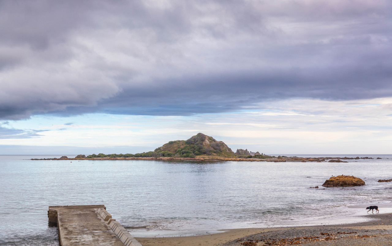
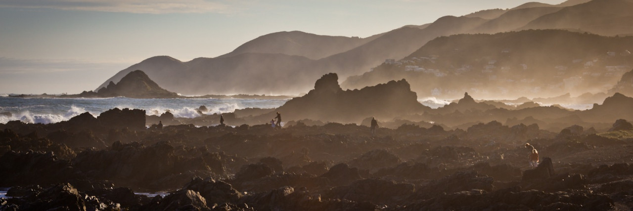
At the far side of Melrose Park turn left and climb a steep clay track to the summit of Mt Albert (use marked high route option). Continue along ridge top then veer right past the new concrete reservoir and head downhill to Mt Albert Road. Turn hard left onto Mt Albert Road then right into Buckley Road. After 200m turn left downhill into Sinclair Park. This grassed valley merges into Buckley Road Reserve. At the bottom of the grassed paddock turn right and follow Houghton Bay Road to the coast. Cross the road to the sea. Turn right and walk along the coast (1km) to Island Bay. At Island Bay veer right into Reef Street, cross the street and enter Shorland Park at the far end at The Parade corner. Walk through Shorland Park to the sea boundary where there is a stone cairn memorial to the end (or beginning) of Te Araroa in the North Island.
To reach the South Island and continue your walk you will need to return to Wellington to catch a ferry or Wellington Airport if flying. Buses leave every 10 minutes from The Parade beside Shorland Park.
Full range of hostel, motel and other accommodation providers including:

Total 2 photos. Click image above to view them all.
Before starting Te Araroa either as a through-walker of the whole country or a section walker, please register on Te Araroa website. Please also visit the website or download the app for detailed maps, trail alerts and other relevant information.
We encourage you to continue gaining the skills and knowledge required for a safe trip. The NZ Mountain Safety Council has lots of free resources and information you can use. These can be accessed via www.mountainsafety.org.nz.
We recommend trying these online learning tools:
Additionally, check out the range of helpful videos available from the NZ Mountain Safety Council YouTube channel.

2 years ago
Gorgeous views, though track is unmarked at some points and around Mt Vic/Mt Alfred where there are loads of trails it is super easy to get lost. As the track does deviate slightly from the Southern Walkway at points I did find myself frequently checking my map.
I'd say probably 3.75 hours for me for this one.