Rangiriri to Huntly
-
Walking
Te Araroa trail section: Follow the Waikato River past a golf course to reach Hakarimata Reserve.
Once you've crossed the bridge, continue a further 150m around the first corner and there is a stile to take you across the first fence to the riverside track which runs parallel to Te Ōhākī Road. On a clear day, you'll see the orange-topped chimneys of the Huntly Power station standing in the distance.
After 7km, the track comes up to the Huntly Golf Course. The track follows the river, keeping behind a screen of trees, safe from the golf balls that ping up the 16th fairway. At the tee, it's safe to come out. The clubhouse is nearby and opens most weekends for hot food, maybe even a beer. Walkers are welcome.
The track follows the stopbank out to Te Ohakī Road, to circumvent the Huntly Power Station's ash ponds. It stays on the road verge for another kilometre before ducking back onto the stopbanks, crossing Māori land between Te Ohaaki Marae and the river, then exits back onto the road. For the last 200m, it enters shady bush through the sculpture park in front of Huntly Power Station.
From the Sculpture Park, continue south along footpaths/road margins on Te Ohakī Road, then Harris Street, then Riverview Road (which becomes Hakarimata Road). Turn right (south-west) into Parker Road. Walk 800m along this road to the Department of Conservation's Hakarimata Scenic Reserve.
Conditions
Potential hazards
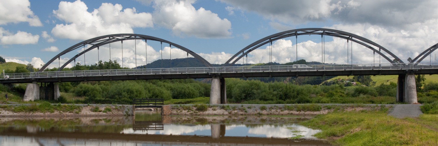
- Vehicles on road or track – the Glenmurray Bridge is one lane with a very narrow footpath
- Bulls – there are one or more jersey bulls along the section between Rangiriri Bridge and Huntly Golf Course. They can be particularly aggressive at times. If a single bull is kept in a field by himself there is a reason for the isolation. Watch out for a bull among a group of cows and be prepared to get out of the field
- Track exposed to sun, wind or cold
- Beware flying golf balls
- The Waikato River is dangerous – don't swim in the river. Water erosion may undermine the bank near the river edge. Supervise children closely.
No dogs, guns, camping or fires.
How to get here
Northern Start: Rangiriri Bridge (Junction of SH1 and Churchill East Road)
Southern End: Hakarimata Scenic Reserve, end of Parker Road
Transport
Huntly
- InterCity - Major North Island routes - W: - E: info@intercity.co.nz - P: 09 583 5780 - (call centre open 7am-8pm)
- BusIt (Huntly and Hamilton) - 0800 205 305
- Huntly Taxis - P: 07 828 0100
Accommodation
Accommodation is available in Huntly, across the Tainui Bridge from the Te Araroa route on the eastern side of the river:
- Lake Hakanoa Huntly Motor Camping Grounds and Holiday Park - 5 Taihua St, Huntly - P: 027 4978925 - 15 tent sites, 42 power sites, 4 onsite caravans, cabins. On the shores of Lake Hakanoa E - davecarol@xtra.co.nz
- The Essex (2km beyond the southern trailhead) - 151 Main St, Huntly - P: 07 828 7179
- Manor Views - 24 Upland Rd, Huntly - P: 07 8280171 or 021 959562
Food And Supply
- Fred's 4 Four Square - Gordon Rd, Huntly - P: 07 828 7438
- Countdown Supermarket - 16/18 Tūmate Mahuta Drive, Huntly - P: 07 828 2041 Open 7.00am-9.00pm
Track Elevation and Map


Total 2 photos. Click image above to view them all.
More information
Waikato trail notes, including information about accommodation, transport and resupplying
Before starting Te Araroa either as a through-walker of the whole country or a section walker, please register on Te Araroa website. Please also visit the website or download the app for detailed maps, trail alerts and other relevant information.
We encourage you to continue gaining the skills and knowledge required for a safe trip. The NZ Mountain Safety Council has lots of free resources and information you can use. These can be accessed via www.mountainsafety.org.nz.
We recommend trying these online learning tools:
Additionally, check out the range of helpful videos available from the NZ Mountain Safety Council YouTube channel.

Page last updated: Aug 30, 2023, 12:07 PM