
Photo by
Chris Gin
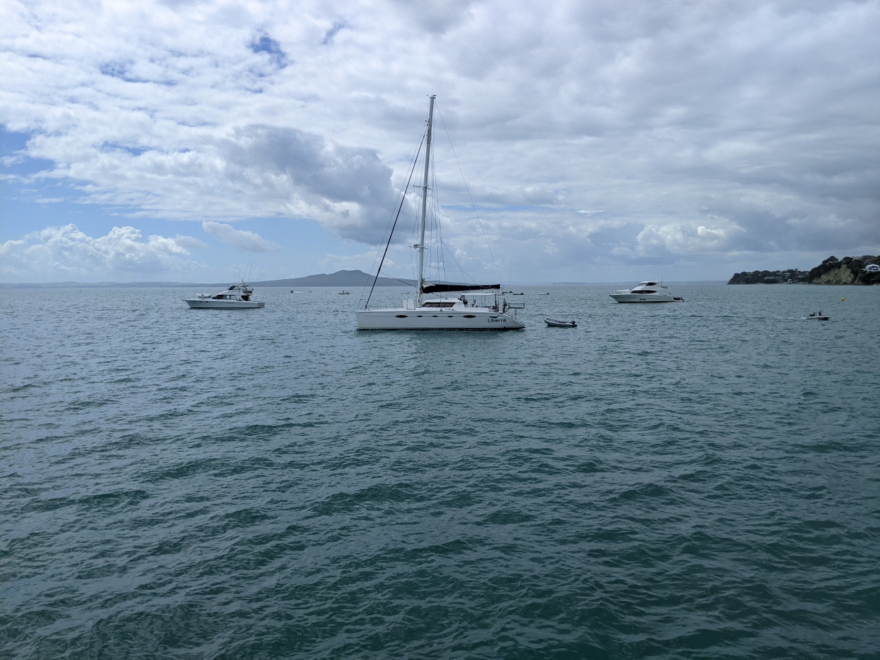
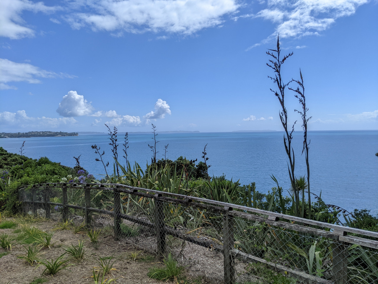
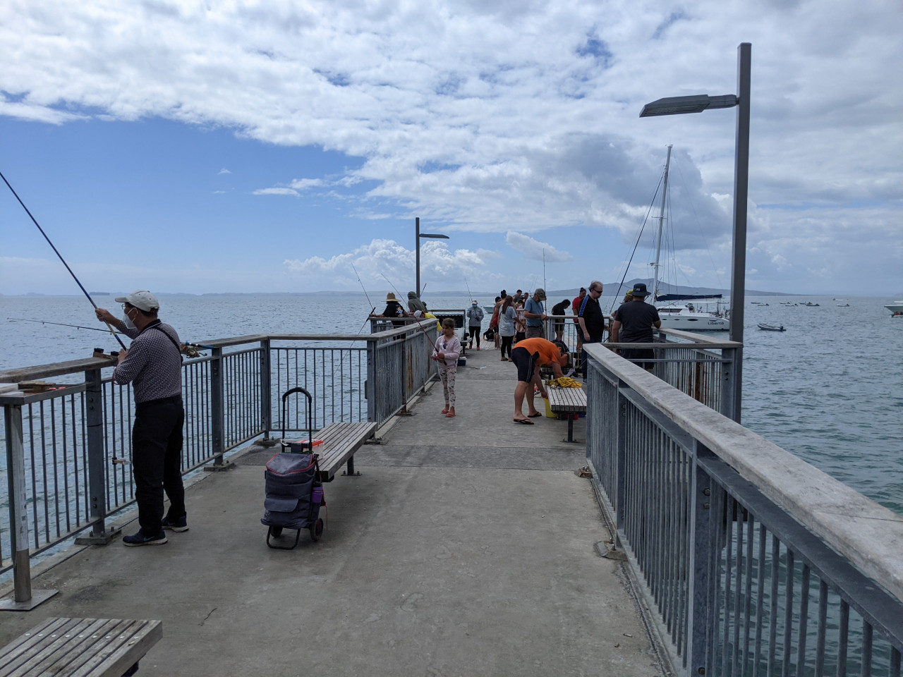
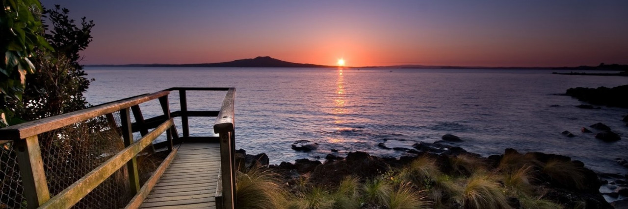
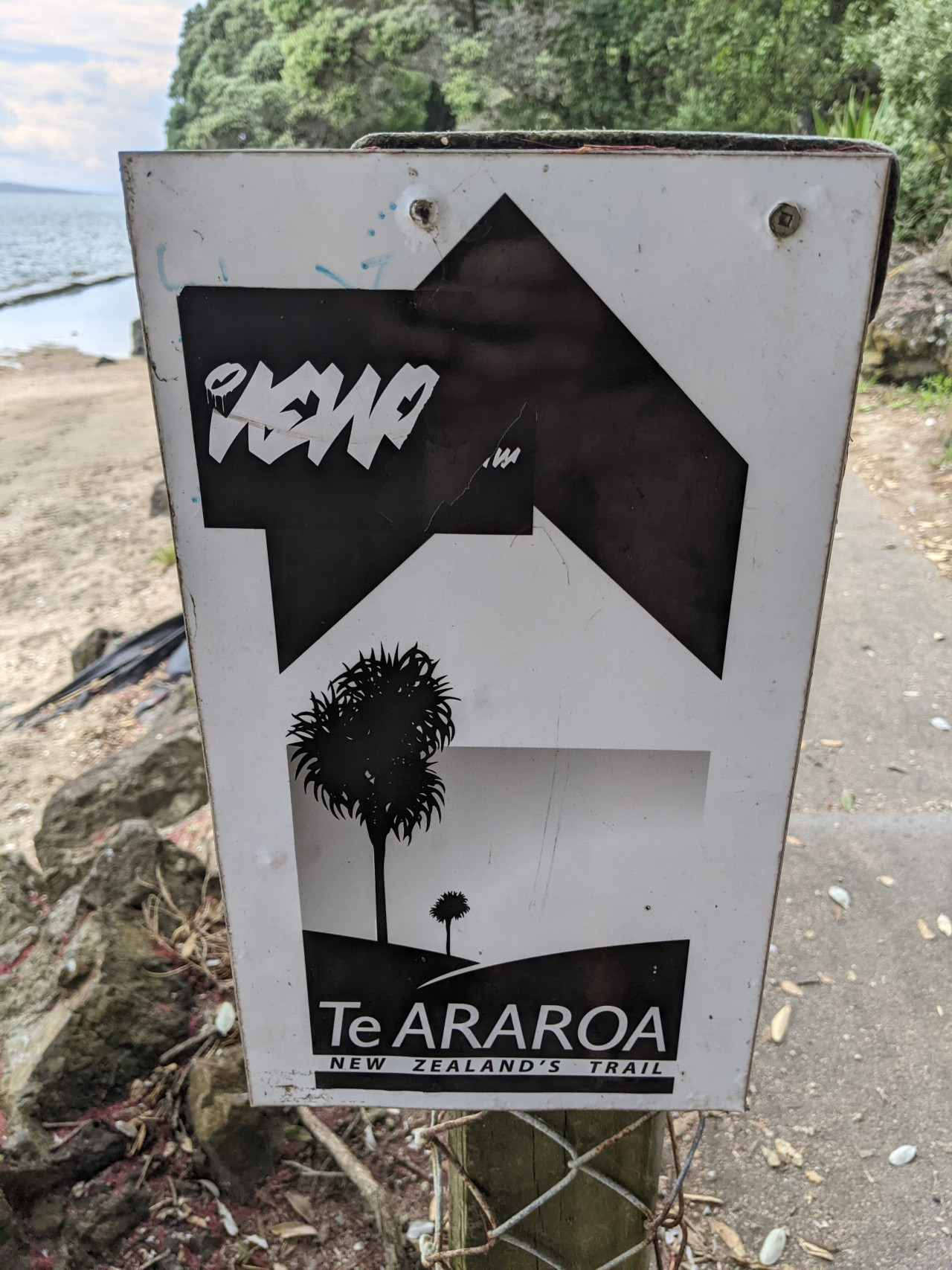
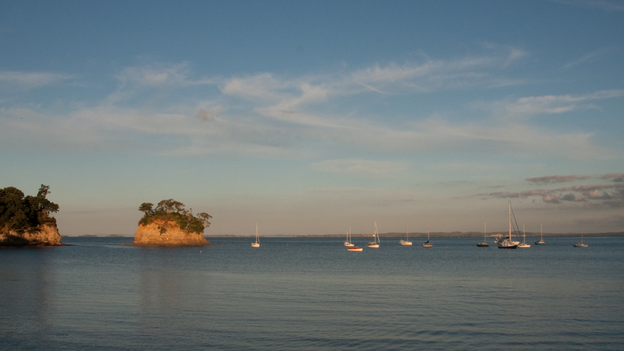
Te Araroa trail section: This walk from Long Bay to Devonport never strays far from the coastline.
All-tide route follows cliff top tracks, pedestrian shortcuts, steps and footpaths. After heavy weather events, some areas can be affected so follow marked alternatives or self-navigate the streets.
You will need to take careful note of the time of low tide, as there are several points where you can be cut off by the rising water. If you want to walk the whole way during one low tide, prepare to do some wading. Alternatively, break the walk partway, and complete it at low tide the following day. At low tide only: check tide times
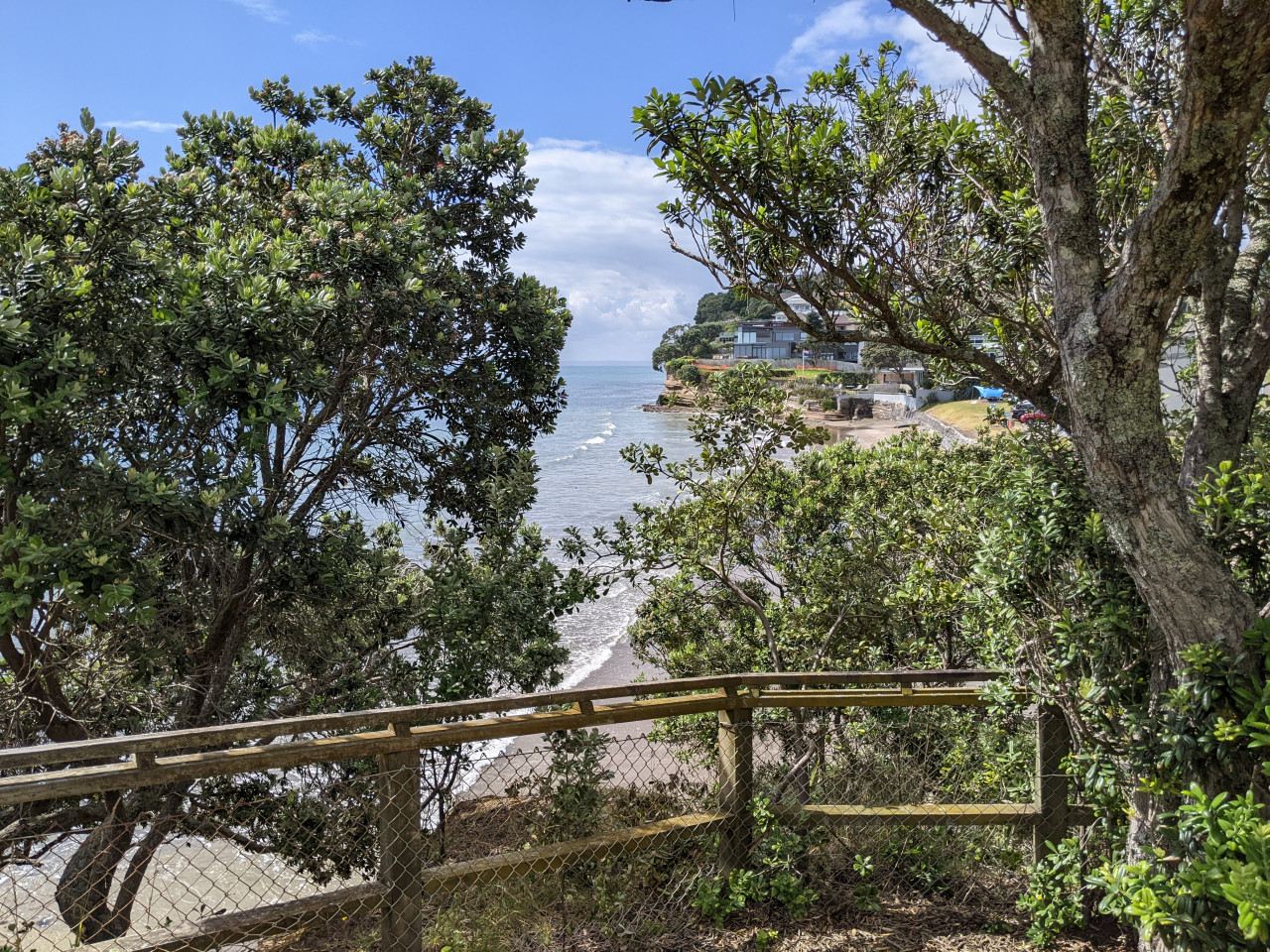
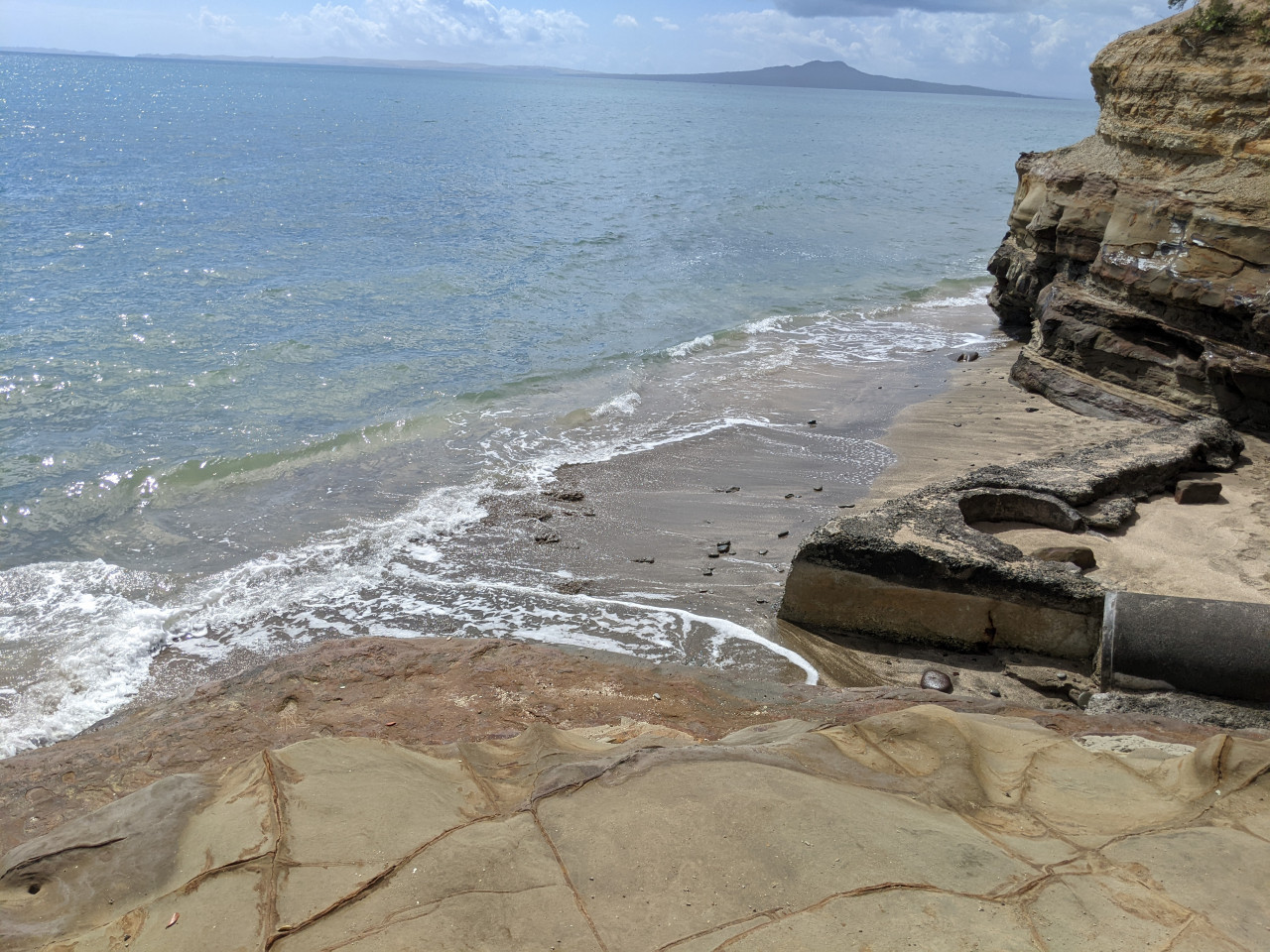
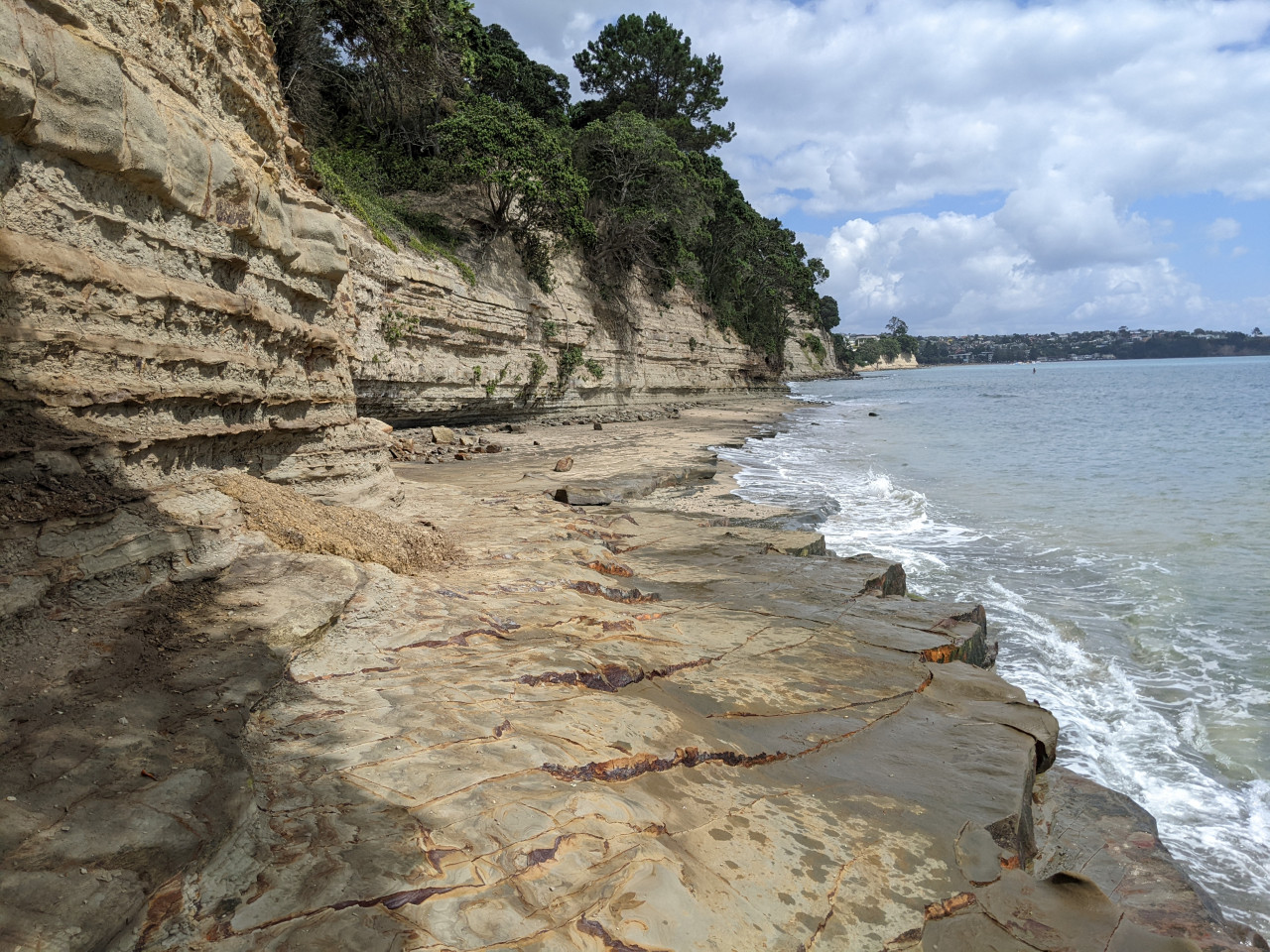
It is possible to walk almost all the way on the shoreline, but Auckland Council does not recommend this route. Rocks may be very slippery and unstable underfoot. Because high sandstone cliffs are subject to sudden rockfalls, please keep at least 10m out from the cliffs.
From Long Bay, near Marine Education Recreation Centre at the bottom of Beach Road, head up the Oneroa Track to Cliff Road. Go down Cliff Road to Rewi Street, turn left into Rock Isle Road, right into Waiake Street, left onto Beach Road and head down to Waiake Beach (Torbay).
Walk along the Waiake beachfront at Torbay, go up Beach Road for a short while and turn left into Sharon Road. At the end of Sharon Road, follow the Lotus Walk down to Manly Esplanade and Browns Bay Beach.
At the southern end of Browns Bay Beach follow the concrete path to the footbridge, which leads round onto the North Shore City Cliff Top Walkway, up the steps to Beechwood Road, past Dan Jones Bluff and down to Rothesay Bay.
Coming out of the Cliff Top Walkway at Rothesay Bay, follow the path across the footbridge, through the reserve, and up into Rothesay Bay Road. From there turn left into Churchill Road, and just before the road curves right, head down Gumdiggers Trail and onto the Cliff Top Walkway, to emerge on Murrays Bay Reserve.
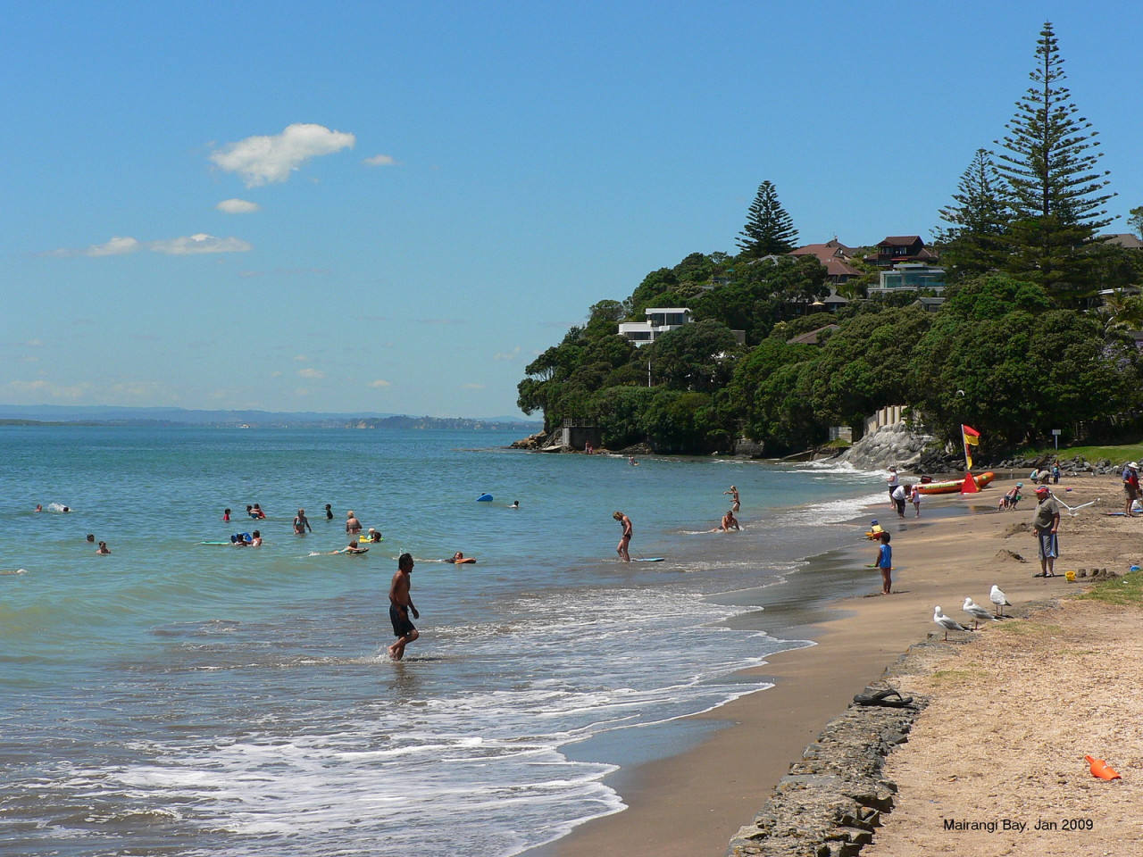
From the reserve at the northern end of Murrays Bay, walk along the beachfront and then up the steps to the Cliff Top Walkway at the southern end of the beach. This leads up and over to come out on Mairangi Bay beachfront.
From Mairangi Bay Beach head up Forde Way to Whitby Crescent. Turn left into Whitby and a little way along find Te Araroa signs pointing up Sea Dog Alley to View Road. Head left down View Road until you reach the Possum Ladder track on the left. This will take you down to Campbells Bay.
Walk along Campbells Bay Beach, and up Huntly Road to Beach Road. Stay on Beach Road as far as JF Kennedy Memorial Park. Go through the park to the eastern edge and follow the track through to Rahopara Historic Reserve. From here take the path down to Castor Bay Reserve.
From The Esplanade at Castor Bay there is no access, at any time of the tide, around the beach to Milford. Wairau Creek cannot be safely forded.
At the southern end of Castor Bay Esplanade, turn right along the concrete path and follow it left to climb the steps between the houses, emerging on Beach Road at the top of the hill. From there go down to Inga Road, and across the footbridge over Wairau Creek, through the reserve and onto Milford beach.
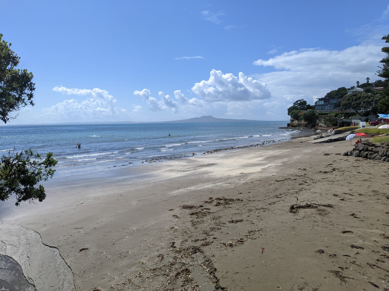
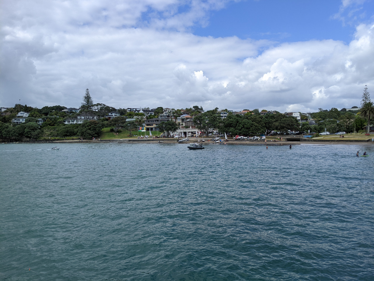
You can walk all the way along the beach and rocks from the northern end of Milford Beach to the southern end of Takapuna Beach. Between Milford Beach and Takapuna Beach the route follows the North Shore City heritage trail Takapuna – Milford Walk and crosses private property thanks to the owners’ goodwill. Please respect the environment and the privacy of local residents, and do not trespass on private property outside the described route.
Note: The pathway in this area is not properly constructed, so please take care. Neither North Shore City Council, Te Araroa Trust, nor the private property owners accept any responsibility for any loss, damage or injury to you or your property arising from your use of this walkway.
From the southern end of Takapuna Beach, head up Clifton Road to Lake Road. Walk down past Takapuna Grammar School and Belmont Intermediate School, turn left into Winscombe Road, and then right along Seacliffe Avenue and Hamana Street. At Old Lake Road, turn left to reach Narrow Neck Beach. At low tide it is possible to walk along the beach from Takapuna to Narrow Neck Beach.
From the southern end of the beach follow Vauxhall Road up and over, down to Bath Street on your left. At Bath Street turn left to reach Cheltenham Beach and walk along the sand as far as Cheltenham Road.
Here, there are two options:
Or
From Devonport Wharf, you can catch a Fullers ferry to link with the next stage of Te Araroa, Auckland’s coast to coast walk.
These is a printable map of the route.
The trail is a mix of suburban footpaths, steep paths and steps, with some slippery and uneven surfaces and unstable rocks. Wear comfortable clothes and strong walking shoes, carry water, snacks, raincoat, sunscreen and a hat.
Caution: Parts of the signed route are very steep. There are steps and narrow grassy tracks which may become slippery in wet weather.
Dog restrictions apply on the beaches.
For bus transport to/from Long Bay Regional Park
Also, throughout this section, there is a wide range of a variety of accommodation available.
Karin's Villa - 27 Clarence St, Devonport - P: 09 4458689 - E: stay@karinsvilla.com
B&B accommodation with free internet and laundry.
A range of shops including supermarket, cafes, banks and a pharmacy
A range of shops including supermarket, cafes, banks and a pharmacy
A range of shops including supermarket, cafes, banks and a pharmacy
A range of shops including supermarkets, cafes, banks and pharmacies.
A range of shops including supermarkets, cafes, banks and pharmacies. Includes Devonport i-SITE Visitor Information Centre - Devonport Wharf, Devonport P: 09 3659906

Total 20 photos. Click image above to view them all.
Before starting Te Araroa either as a through-walker of the whole country or a section walker, please register on Te Araroa website. Please also visit the website or download the app for detailed maps, trail alerts and other relevant information.
We encourage you to continue gaining the skills and knowledge required for a safe trip. The NZ Mountain Safety Council has lots of free resources and information you can use. These can be accessed via www.mountainsafety.org.nz.
We recommend trying these online learning tools:
Additionally, check out the range of helpful videos available from the NZ Mountain Safety Council YouTube channel.

2 years ago
Great walk, beautiful views.