Mt Tamahunga (Te Hīkoi O Te Kiri) Track
-
Walking
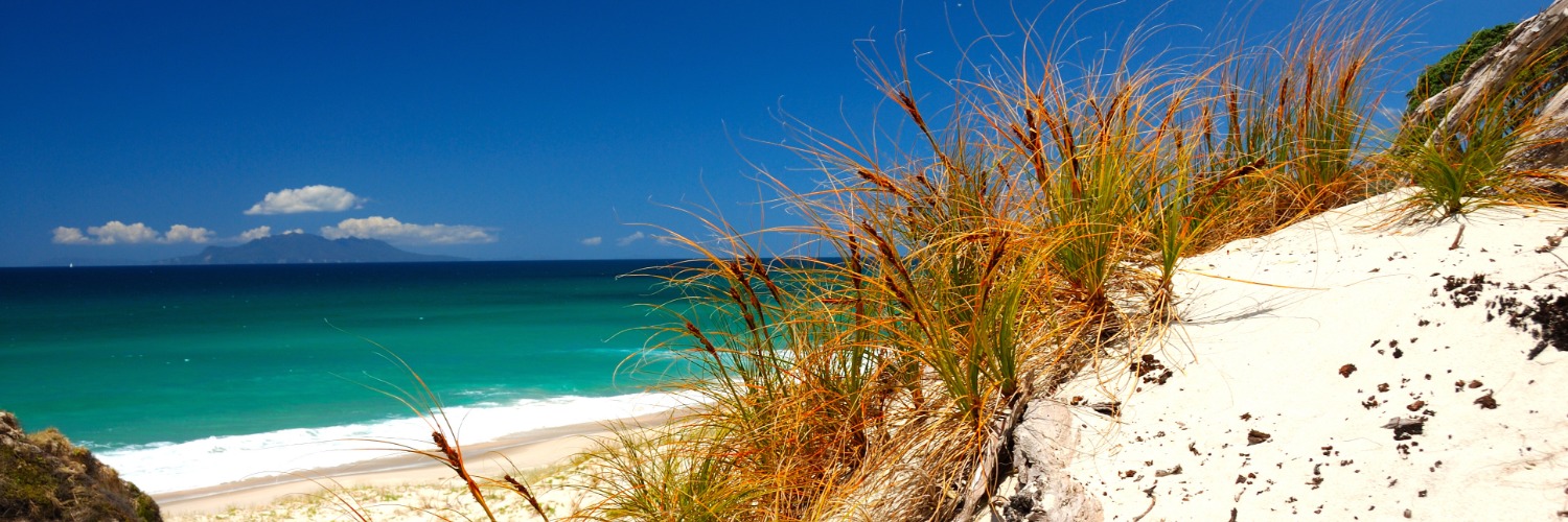
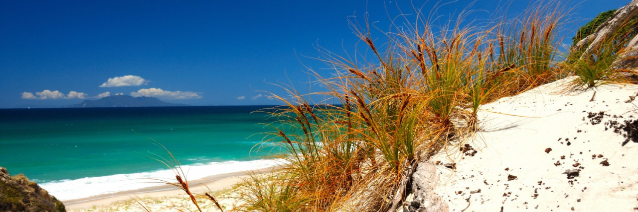
Te Araroa trail section: The trail leaves the northern beaches and coast to head inland to Mt Tamahunga and Matakana.
From the Pākiri Beach access (adjacent to the Camp Ground), follow Pākiri River Road for 3km to the intersection with Pākiri Road. Cross over and continue south on Bathgate Road, past the school and several houses.
Beyond the southern end of Bathgate Road, go down what looks like a driveway to the Te Araroa sign. Follow the orange track markers leading up a ridgeline through steep farm pasture for 2.5km to a farm track near the end of Rodney Road. This climb offers fantastic views up the coast.
At the end of the ridge the track turns right (west) at a junction. The track to the left leads out to meet Rodney Rd. DOC have installed a long drop toilet on the spur track approximately 120m from the Te Araroa trail junction, close to Rodney Road. A little further off trail at 505 Rodney Road there is a campsite charging $10.00 pp for site and water – use the DOC toilet. Total 250m from Te Araroa.
The track turns west through more farmland and across a steep and muddy saddle (do take care when wet) before climbing through pine plantation into DOC native bush. At the summit, there is a helicopter platform which makes a good spot for resting.
Continuing on, this rough and occasionally slippery track soon descends steeply down before climbing again and passing beneath a weather satellite station. There's another rocky and slippery descent before the track levels out through regenerating bush.
A grassy hill affords some views (between the gorse) of the coast before continuing west on a well-formed track. The track leaves the ridge, crosses a stile and descends 200m to another stile before a narrow and slippery track takes walkers down, across a footbridge and to a short boardwalk across a swamp before another narrow, steep and slippery climb to Matakana Valley Road.
There is a possible koha campsite at private house at 777 Matakana Valley Road, just across the road.
Head south on Matakana Valley Road for 450m to the junction with Govan Wilson Road. If in need of re-supply, Matakana is 6km south down Matakana Valley Road.
Conditions
Be considerate of animals and keep to the track; leave gates as you find them; no dogs, horses, guns, bikes or vehicles.
Potential hazards
- Few water sources
- Wasps are common on the section between Rodney Road and Mt Tamahunga
How to get here
Northern Start: Beach access, Pākiri Beach
Southern End: Corner Govan Wilson and Matakana Valley Roads
If you are day walking this track, please note parking is in short supply at the western end of the track. The only places to park are in a small lay-by at the Govan Wilson Road intersection and a small bus-stop lay-by further south. Please do not park in any driveways.
Transport
Matakana
Long-haul bus services to stop 9km away at Warkworth, the nearest town on SH1.
- InterCity - P: 09 583 5780 - E: info@intercity.co.nz
- Northliner Express Coach Service - Paihia - Auckland - Wellington - P: 09 438 3206
- Naked Bus - P: 0900 62533 (calls cost)
Local transport/transport to the trailhead
- Matakabs - P: 09 422 2244 or 0800 522 743 - E: bookings@matakabs.co.nz
- Warkworth taxis - 54 Burtram St, Warkworth - P: 09 425 0000
Accommodation
- Pākiri Paradise on the Ridge - 505 Rodney Road, Pakiri, phone 021 066 2108, rosiewilk@xtra.co.nz - airbnb - Guest Room. Also accepting campers and charging $10.00 pp for site and water. This is south of Pakiri, up the hill near km 476, 200m off trail
- Matakana Village Cottages (SC, B&B) - 202 Matakana Valley Rd - P: 09 422 9337 or 021 189 4242 - E: cottage@xnet.co.nz
- Glamping Opportunity - Great house with an amazing view located at 732 Matakana Valley Rd - so just down from the end of the trail. The owners are happy to offer a 10% discount to those who are doing Te Araroa walk, just mention this when you book.
Food And Supply
- Matakana Four Square - 21 Matakana Valley Road, Matakana - P: 09 422 7213
- Matakana Store and Post Centre - 21 Matakana Valley Rd, Matakana - P: 09 422 7213
Track Elevation and Map

Total 1 photos. Click image above to view them all.
More information
Te Araroa Auckland trail notes including information about accommodation, transport and resupplying
General information
Matakana Information Centre, Matakana Cinemas Foyer, 2 Matakana Valley Road, Matakana P: 09 422 7433 E: Matakanainfo@xtra.co.nz
Before starting Te Araroa either as a through-walker of the whole country or a section walker, please register on Te Araroa website. Please also visit the website or download the app for detailed maps, trail alerts and other relevant information.
We encourage you to continue gaining the skills and knowledge required for a safe trip. The NZ Mountain Safety Council has lots of free resources and information you can use. These can be accessed via www.mountainsafety.org.nz.
We recommend trying these online learning tools:
Additionally, check out the range of helpful videos available from the NZ Mountain Safety Council YouTube channel.

Page last updated: Dec 4, 2023, 7:38 AM