Motatapu Alpine Track
-
Walking
Walk 2.5km up Motatapu Road from the Wānaka Mount Aspiring Road junction to the Fern Burn Carpark. There is a toilet here, at the start of Motatapu Alpine Track.
Foreign owners paid for the construction of this track and the huts en route in accordance with Overseas Investment Office conditions of approval of the sale of the Motatapu and Mt Soho Station pastoral leases. The track was opened by Former Prime Minister Helen Clark in 2008.
The track is well marked but exposed and follows a demanding line. DOC’s published information on the track warns:
- Due to the exposed nature of the Motatapu Alpine Track and its physically challenging terrain, it is only suitable for experienced trampers.
- Several steep sidles require care, and tramping times should be adjusted for those not confident in this type of country.
- The climate is typically Central Otago. Very hot, dry conditions are common in summer.
- Carry plenty of water, as water sources are limited, and ensure adequate protection against the sun.
- Wintry conditions can occur at any time of the year, with the higher country subject to snow, especially during winter.
- Be prepared by having warm, windproof clothing and appropriate footwear.
Fern Burn carpark to Fern Burn Hut - 6.5km / 3 hours
The first section, on formed track and through to the Fern Burn Hut, is the easiest part of the Motatapu Alpine Track.
From the carpark, the track begins through deer paddocks on the Fern Burn’s true right and enters remnant beech forest at the Stack Conservation Area boundary. The track then traverses the length of the burn-side beech forest strip.
When the track breaks out of the forest section it enters tussock country. The gradient steepens but the track remains benched through to the Fern Burn Hut (12 bunks).
Fern Burn Hut to Highland Creek Hut - 6km / 4 hours
From the hut, the track follows marker poles further up the Fern Burn and on to Jack Halls Saddle (1275m). On clear days there are return views to Lake Wānaka.
Beyond the saddle, the track descends a ridge to a creek crossing. The remainder of the section involves sidles and ridge walking towards the Highland Creek catchment and Highland Creek Hut, located within an impressive high country basin.
Highland Creek Hut to Roses Hut - 10km / 5-6 hours
This is the most demanding section of the track. It involves 2 major climbs and descents. The first involves a memorable climb up a steep spur then sidles to vantage points that provide good views of the Motatapu Valley. A long descent takes trampers down to a creek within a strip of remnant beech forest. A long climb immediately follows up towards a major ridge off Knuckle Peak. From here travel is down the ridgeline to the Motatapu River. Ford the river then cross valley floor to Roses Hut (12 bunks).
Roses Hut to Macetown - 10km / 4-5 hours
The track from the hut continues to follow marker poles. It crosses a small creek and climbs 470m up the ridge to a point at 1270m, above and east of Roses Saddle. From this high point, the track descends to the Arrow River.
If the Arrow River is at normal to low flows then travel is quicker within the river bed all the way down to Macetown. An alternative route to Macetown follows the directional sign and markers on a high water track, which sidles above the river’s true left bank.
- Note: trampers on the high water track still need to ford the Arrow River to reach Macetown so come prepared to wait out a flooded river as need be.
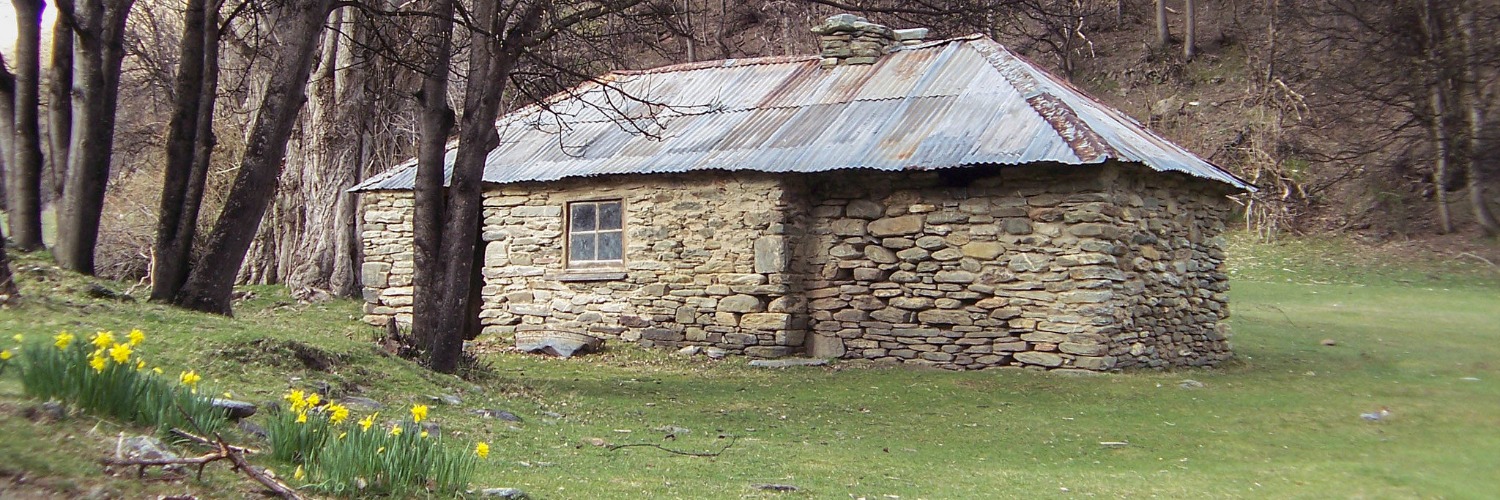
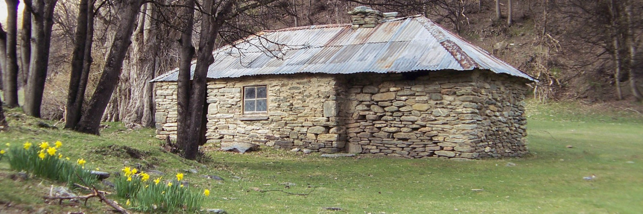
Macetown has a population of zero. This historic gold mining town is now a small collection of buildings and ruins. There are toilets here and camping is permitted. Vehicle access to Macetown is by a 15km 4WD track.
Big Hill Track - 13km / 4-5 hours
The Big Hill Track is a historic route that was once the main road from Arrowtown to Macetown.
From Macetown follow the 4WD Macetown Road downstream to the Eight Mile/Coronet Creek confluence. Head up this creek for about 500m then follow poles up the steep hillside on the true right of the creek up to Big Hill Saddle (1060m). The formed track down from the saddle affords good views across to Lake Hayes and the Wakatipu Basin. It passes through open tussock country and beech forest to the Sawpit Gully Trail junction. Continue down on the right-hand track and exit to Ramshaw Lane, Arrowtown on the Bush Creek Trail.
NOTE: After leaving Macetown, the route to Arrowtown is across private property and the only permitted camping is at 8 Mile Hut (2671.2km). The same is true for the Macetown Road as well. Please respect this and plan your trip accordingly.
- Alternative route: In poor weather trampers can continue down the Macetown Road to Arrowtown.
Conditions
Potential hazards
- Vehicles on road or track take care on Motatapu Road and look out for 4WD adjacent to Arrow River
- River crossings - Never cross flooded rivers. You will have to cross the Arrow River at the south end,
- Track exposed to sun, wind or cold
- Weather extremes
- Few water sources
How to get here
Northern Start: Junction of Wānaka-Mount Aspiring and Motatapu Roads, Glendhu Bay
Southern End: Junction of Villiers Street and Buckingham Street, Arrowtown
Transport
To trailhead
- Alpine ConneXions - 460 Aubrey Rd, Wānaka - P: 03 443 9120 - E: info@alpineconnexions.co.nz - Daily trampers' shuttle service from Wānaka to Glendhu Bay and to the northern start of the Motatapu Alpine Track - P: 03 443 7966
Arrowtown
Transport to/from Frankton/Queenstown
- Connectabus - departs regularly from Ramshaw Lane - P: 03 441 4471
Accommodation
En route
- Fern Burn Hut - 12 bunks
- Highland Creek Hut - 12 bunks
- Roses Hut - 12 bunks
- Macetown - Camping
- 8 Mile Hut - Limited camping available
Arrowtown
- Arrowtown Holiday Park - 12 Centennial Ave, Arrowtown - P: 03 442 1876 - E: info@arrowtownholidaypark.co.nz - units, lodge and camping
There is also many other options for accommodation in Arrowtown
Food And Supply
Arrowtown
- Arrowtown Night n Day Food Store - 39 Buckingham St, Arrowtown - P: 03 442 1886 - - Basic resupply
- Arrowtown Bakery & Café - 1 Buckingham St - P: 03 442 1587 - E: info@museumqueenstown.com
Track Elevation and Map

Total 2 photos. Click image above to view them all.
More information
Te Araroa Otago trail notes, including information about accommodation, transport and resupplying
Arrowtown
- For information on Arrowtown log onto - Arrowtown Visitor Information
- Arrowtown Museum and Information Centre - 49 Buckingham St, Arrowtown - PH: 03 442 1824 - E: info@museumqueenstown.com

Page last updated: Apr 17, 2024, 9:06 AM