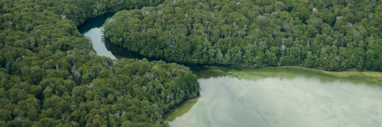
Mararoa River Track
-
Walking
Te Araroa trail section: Parts of this section are marked with poles. Other parts are unclear and may be overgrown – allow enough time.
Trampers continuing on from the Mavora Walkway can walk south, down and around North Mavora lakeshore to the swingbridge across the Mararoa River at the lake’s outlet.
The track stays west of, though close to, the Mararoa River and then South Mavora Lake to this lake’s outlet where another swingbridge provides an alternative access point from Mavora Lakes Road.
Beyond this swingbridge, the track continues down the true right side of the Mararoa River to a third and final swingbridge at km 2774.5. The bridge aligns with another track that intersects Te Araroa and provides access to Mavora Lakes Road.
Along the way, a careful assessment of the trail ahead is required: if the Mararoa River can be forded safely just beyond the Kiwi Burn confluence, then Te Araroa trampers can continue down the track on the true right side to the Kiwi Burn, then either divert 1.5km to the Kiwi Burn Hut, or ford the Mararoa River and continue south on the true left bank.
If the Mararoa is not fordable, then Te Araroa trampers must cross the final swingbridge at km 2774.5.
Trampers can then continue down the true left bank on the river side of the fence and, after 3km, rejoin Te Araroa opposite the Kiwi Burn confluence.
Estimated time for 17.5km from Mavora Lakes Campsite to Kiwi Burn Hut, including 1.5 km diversion to the hut: 5 hours.
Below the Kiwi Burn confluence, Te Araroa is marked with poles down the Mararoa’s true left bank. This is on the river side of the fence all the way down to Wash Creek, some 16km distant. Travel is occasionally damp underfoot and a little slow through long grasses but the route improves and becomes easier in parts as progress is made.
The riverside track from south of Kiwi Burn hut (km 2777.5 to 2793) is badly overgrown and difficult. It may be advisable for southbound hikers to use anglers' trails to cross to the road and then follow Mavora Lakes Road to Wash Creek.
After fording Wash Creek, the route climbs to Mavora Lakes Road. Turn right onto the road and continue for 11km through to SH94. Turn right and walk, carefully, along SH94 a further 2.5km to where Te Araroa turns into Princhester Road. The Lower Princhester Hut is 6km up Princhester Road.
Estimated time for 17.5 km from Kiwi Burn Hut to Mavora Lakes Road, 5 hours. It's another 2.5 hours along the road to SH94.
DOC’s Mavora Lakes Park pamphlet includes additional information on some of this trail section and the surrounding area.
There is 22km left on SH94 to Mossburn and 33km right on SH94 to Te Anau, a pleasant lakeside town and gateway to Fiordland National Park.
Conditions
Potential hazards
- Vehicles on road or track – take extreme care on Mavora Lakes Road and SH94
- Farming operations
- River crossings – never cross flooded rivers
- Small stream crossings
- Track exposed to sun, wind or cold
How to get here
Northern Start: Mavora Camping Area, Mavora Lakes Road
Southern End: Junction of SH94 and Princhester Road
Transport
Te Anau getting there/away
- InterCity - P: 03 365 1113 - Daily buses to Queenstown, Dunedin and Christchurch
-
Private Transfer an on-demand service at a time to suit. Cost from $45.00 per charter dropping off at state highway 94. For a drop off at the end of the Princhester Road Cost from $55 per charter. Contact Topline Tours Linda & Denis P: 03 249 8059 or 03 249 9550 or try cell 029 770 3134
- Tracknet - P: 0800 483 262 provide public transport to and from Princhester Road from Te Anau
Accommodation
Te Anau accommodation
- YHA Te Anau - 29 Mokonui Street, Te Anau P: 03 249 7847 E: teanau@yha.co.nz
- Te Anau Lakefront Backpackers BBH - 48-50 Lakefront Dr, Te Anau - P: 0800 200 074 - E: res@teanaubackpackers.co.nz
- Te Anau Top 10 Holiday Park- 15 Luxmore Dr, Te Anau - P: 0800 249555 - E: stay@teanautop10.co.nz
- Te Anau (Mountain View) Top 10 Holiday Park - 128 Te Anau Terrace, Te Anau - P: 0800 249 746 or 03 249 72 62 - E: stay@teanautop10.co.nz
- Te Anau Lakeview Holiday Park - P: 0800 483 262 - (+64) 3 249 7457 - M: res@teanau.info
Many other options at all levels are also available in Te Anau.
Mossburn accommodation
- Mossburn Hotel - Cnr York and Bath St - P: 03 248 6399 - Pub style accommodation, bar and restaurant (closed Mondays)
- Mossburn Country Park - 333 Mossburn-Five Rivers Rd, 3 km north of Mossburn - P: 03 248 6444 or 021 251 9246 -E: info@mossburncountrypark.co.nz - Backpackers, cabins, campsites - NB: Closed over winter
- Kōwhai Lodge self-contained and B & B - 5665 Te Anau/Mossburn Highway, - P: 03 248 6137
Food And Supply
Te Ānau resupply:
- 4 Four Square Supermarket - 30 Town Centre, Te Ānau - P: 03 249 7547
- Fresh Choice Supermarket - 5 Milford Cres, Te Ānau - P: 03 249 9600
- Fiordland Bakery - 106 Town Centre, Te Ānau - P: 03 249 8899
On the Trail:
- Sprig & Thistle: A vintage-style caravan full to the brim with coffee and homemade savouries and sweets. On the Trail at 6 Princhester Road, The Key.
- Davaar & Co: Woolen Jerseys crafted from Davaar Station sheep's wool. Our jerseys are sustainably grown, spun & knitted entirely in New Zealand. Also located at 6 Princhester Road, The Key.
Track Elevation and Map

Total 1 photos. Click image above to view them all.
More information
Te Ānau general information
- Fiordland I-SITE Visitor Centre - 85 Lakefront Dr, Te Ānau - P: 03 249 8900 - E: info@fiordland.org.nz
- DOC Te Rua-o-te-moko / Fiordland National Park Visitor Centre - Lakefront Dr, Te Ānau - P: 03 249 7924 - E: fiordlandvc@doc.govt.nz
- Transfers - Te Ānau Transfers - Ally Borges. Offer an on-demand service. Their number is 020 483 2628. The best option is to call.
- Mavora Lakes Park - DOC pamphlet
Before starting Te Araroa either as a through-walker of the whole country or a section walker, please register on Te Araroa website. Please also visit the website or download the app for detailed maps, trail alerts and other relevant information.
We encourage you to continue gaining the skills and knowledge required for a safe trip. The NZ Mountain Safety Council has lots of free resources and information you can use. These can be accessed via www.mountainsafety.org.nz.
We recommend trying these online learning tools:
Additionally, check out the range of helpful videos available from the NZ Mountain Safety Council YouTube channel.

Page last updated: Sep 19, 2023, 12:18 PM