Longwood Forest Track
-
Walking
Te Araroa section: Longwood Ranges was a major centre for gold mining from the mid-1860s to the 1950s. This tough tramping route gives an insight into the hard task these early Chinese miners faced living in the forest. Historic water races in the area are reminders of the importance of water supply during the gold rush.
Walk 7.5km up Merrivale Road into the forest, all the way to the road end. A washout about 6km up Merrivale Road prevents 2WD vehicles from progressing further, but roadside parking exists.
During the deer roar (March/April), we recommend that all walkers wear a high-vis vest while walking through the Longwoods Forest.
The only reliable water source on Te Araroa for over 13km is Merry Creek, accessed a short distance down a 4WD track that departs Merrivale Road on the left-hand side, just beyond the final farm paddock.
Merrivale Rd end to Bald Hill — 4.3km / 2 hours
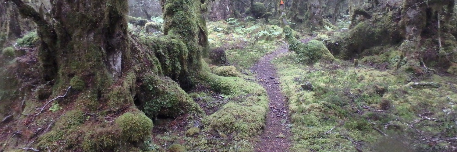
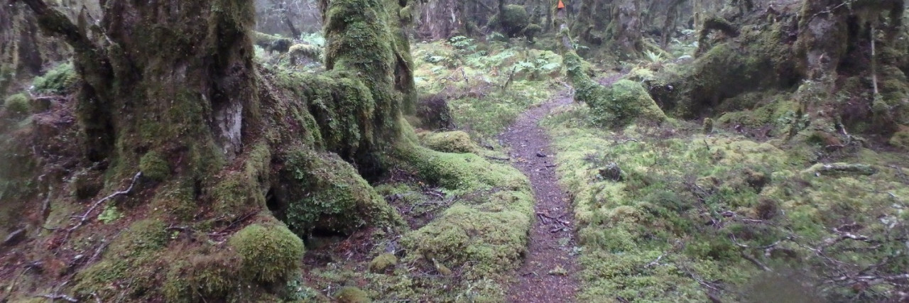
From the road end, a short 4WD track leads off to the start of the Longwood Forest Track. The first orange track markers are encountered a bit further along. A GPS may come in handy here (and across the tops) as the ground trail is not always obvious.
The track climbs gradually for 2.5km to a clearing but soon re-enters the forest. From here, it’s only 500m to the treeline from where the transmission tower is visible on clear days. The track is marked by poles across the open tops to the transmission tower at a road end upon Bald Hill.
Bald Hill to Martins Hut — 15.5km / 7 hours
Descend the road from the transmission tower. Water may be available from small streams draining from the left. This is in the vicinity of the gates which cross the road. Fill up here as there is no other readily available water source for some distance.
Continue down the road to the old quarry from where the track departs on the right near a square steel plate sign.
The track within the forest is well-marked and easy to follow through an increasingly stunted forest. In open sections, however, the route is lightly marked with poles. Continue through forest and shrublands across “Little Baldy” and the saddle to the main Longwood ridge. The track from here is often indistinct but follows markers to and beyond the Longwood trig. The descent on the marked track is fairly steep, and through the forest to historic Martins Hut, built in 1905 and the last (or first if northbound.) hut on Te Araroa.
Martins Hut is compact with 4 timber bunks with mattresses. It would provide welcome shelter in poor weather. There is a small water tank behind the hut — though do treat the water.
Another water source at Martins Hut is a small stream on an unmarked side track between the toilet and the hut. This is off to the left as you are facing downhill. Water also becomes more readily available on the main track lower down.
Martins Hut to Long Hilly Track and Round Hill — 12.5km / 4 hours
Leaving Martins Hut, follow the trail for 100m and turn right at the marked junction. Follow the water race on Turnbull’s Tramping Track for 4.9km to the derelict historic Turnbulls (Big Dam) Hut. Once you leave Turnbull’s Hut, you will continue on the Turnbull’s Tramping Track, descending gradually for the next 4.5km until you reach the historic Ports Water Race. At this junction, turn right and follow the water race for 250m before reaching the Round Hill Track and walking for 850m to the carpark.
From the carpark, turn left and follow Round Hill Road for 900m until you join State Highway 99. Turn left again onto State Highway 99 and walk the 4km to Colac Bay.
Conditions
During the deer roar (March/April) we recommend that all walkers wear a high-vis vest while walking through the Longwoods Forest.
Potential Hazards
- Vehicles on road or track on Merrivale road
- Poisons & traps
- Farming operations
- Track exposed to sun, wind or cold
- Weather extremes
- Few water sources between Merrivale Road and Martins Hut
How to get here
Northern Start: Junction of Otautau-Tuatapere and Merrivale Roads, Merrivale
Southern End: End of Ports Water Race Track
Transport
Walk 7.5km up Merrivale Road into the forest, all the way to the road-end. A washout about 6km up Merrivale Road prevents 2WD vehicles progressing further but there is roadside parking there.
Accommodation
Accommodation en route
- Martins Hut - Basic 4 bunk hut - The water source at Martins Hut is a small tank behind the hut. There is also a small stream off on an unmarked side track between the toilet and the hut. This is off to the left as you are facing downhill. Water also becomes more readily available on the main track lower down.
Food And Supply
The only reliable water source on Te Araroa for over 13km is Merry Creek, accessed a short distance down a 4WD track that departs Merrivale Road on the left-hand side, just beyond the final farm paddock.
Track Elevation and Map

Total 1 photos. Click image above to view them all.
More information
Before starting Te Araroa either as a through-walker of the whole country or a section walker, please register on Te Araroa website. Please also visit the website or download the app for detailed maps, trail alerts and other relevant information.
We encourage you to continue gaining the skills and knowledge required for a safe trip. The NZ Mountain Safety Council has lots of free resources and information you can use. These can be accessed via www.mountainsafety.org.nz.
We recommend trying these online learning tools:
Additionally, check out the range of helpful videos available from the NZ Mountain Safety Council YouTube channel.

Page last updated: Aug 30, 2023, 11:07 AM