Filter by Date:
Regional field advisors
Contact an advisor to investigate or negotiate public outdoor access.
Pocket Maps
Get the app to take our maps with you just about anywhere.
Mahu Whenua trail network nearly finished
Posted under: Tracks and trails
Published 29 November 2018
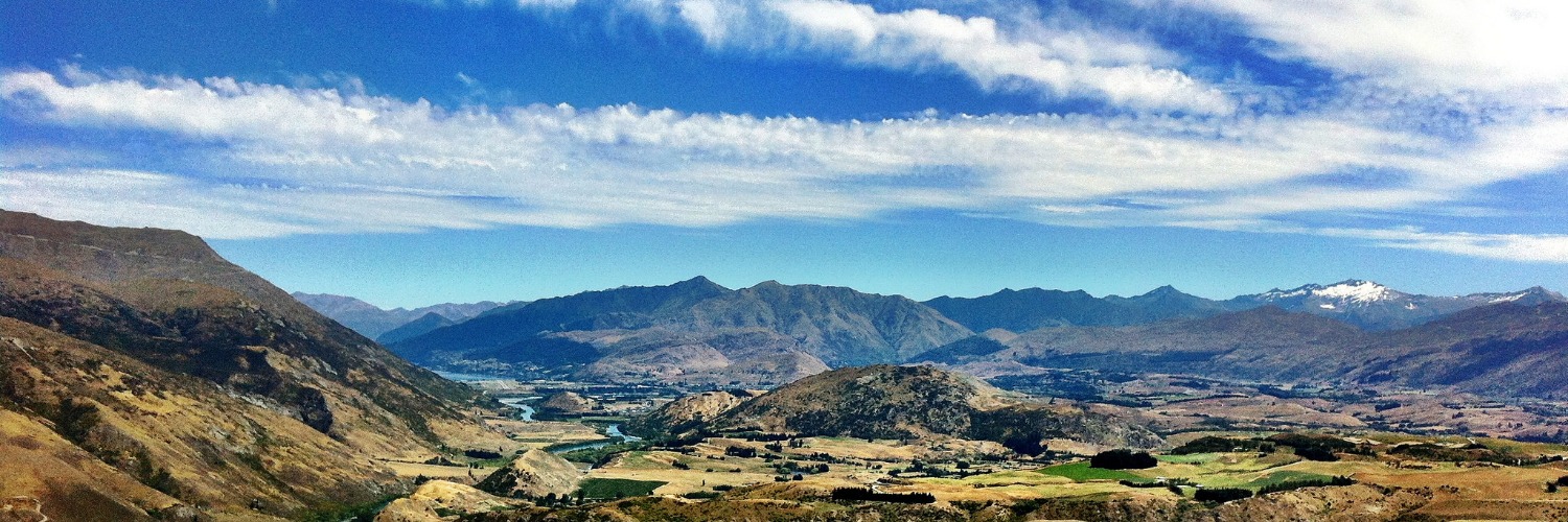
A network of 18 trails on Coronet Peak and Glencoe Station is nearly complete. It has been over six years since we opened this case but - as mainlanders are famous for saying - good things take time. The tracks will give walkers and mountain bikers enhanced access to the spectacular Crown Range and Harris Mountains.
Walking Access Commission regional field adviser Ange van der Laan says all the tracks are up and running, except for the new Coronet Loop track. Stage 1 of building that track along the Coronet face has just finished.
After a recent trip to Advance Peak, Ange says views of the Shotover River looking up to Branches Station are epic.
When the two stations were sold in 2011 the Overseas Investment Office required the new leaseholder to provide public trails on the land. The owner, Switzerland based music producer Robert ‘Mutt’ Lange, and his land manager Russell Hamilton, supported the trail network, as did most everyone else in Arrowtown.
But even when everyone wanted the same thing there was a lot of negotiation to make it happen.
Staff at the commission spent several years talking with all the people and groups that had an interest in these trails finding a solution that worked for as many people as possible. Then the commission needed to find someone to be the controlling authority for the tracks. Queenstown Lakes District Council, the Department of Conservation, the Queenstown Trails Trust and the Queen Elizabeth II National Trust all participated in the discussions. Eventually QEIINT took on this role alongside their Open Space Covenants.
The Commission takes pride in being an independent and trustworthy organisation that can work with everybody. Legal questions about type of easement can seem trivial for track builders who just want to put signposts in the ground. But those legal discussions are crucial to making sure the trail endures into the future.
Then the tracks needed to be surveyed, and in some cases built or upgraded, so that walkers and mountain bikers could share them. Signs and poles needed to go up. Money needed to be raised to pay for all these legal discussions, surveying and construction.
Surveying on both Glencoe Station and Coronet Peak Station is now finished and the data lodged with LINZ. Once LINZ has confirmed the data the commission will proceed with registering and gazetting the new walkways.
“My hope is that this process will be complete by year end,” says Ange van der Laan, who notes that people are already flocking to the trail network.
“It’s an amazing asset to the country, and especially us very happy locals here in Arrowtown.”
---
- Link to photos of our Queenstown Lakes Regional Field Advisor Ange van der Laan joined with farm manager Russell Hamilton and others to mark out the new Advance Peak Track near Wanaka in September.
- Header photo credit of the Wakatipu Basin from the Crown Range: Jeff and Neda Fields at Flickr
Page last updated: 14 December 2023