Filter by Date:
Regional field advisors
Contact an advisor to investigate or negotiate public outdoor access.
Pocket Maps
Get the app to take our maps with you just about anywhere.
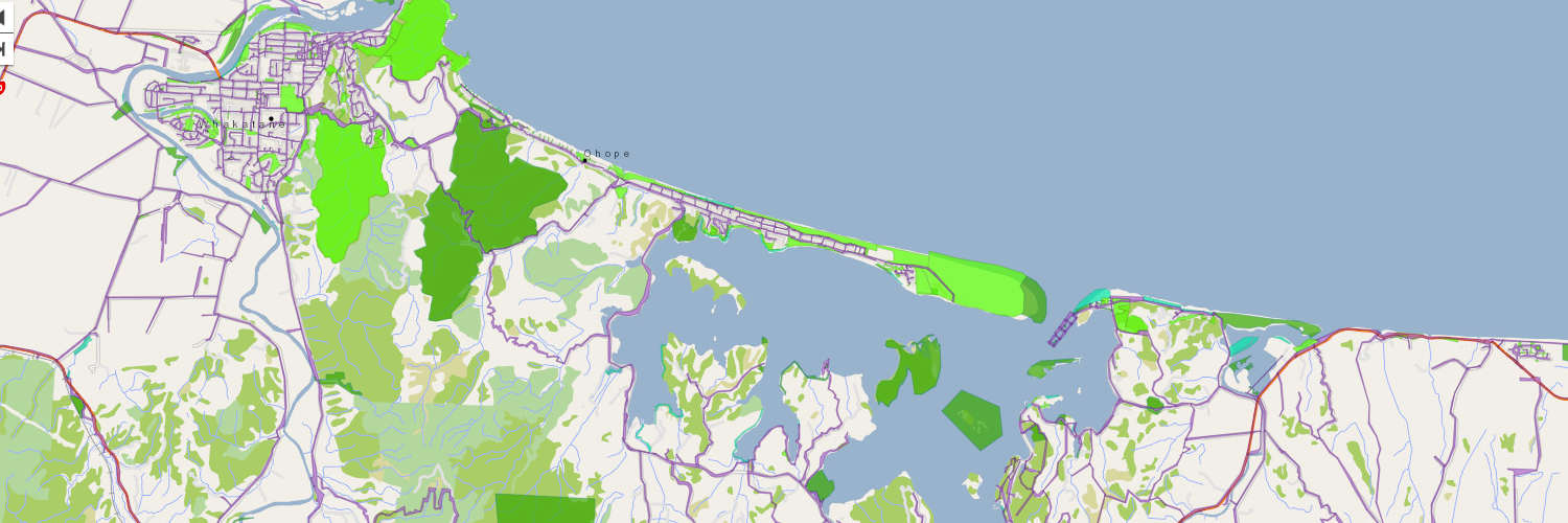
How complete is the public access data shown on WAMS?
by Eric Pyle, Chief Executive
How much public access is there in New Zealand? How much can the Commission’s Walking Access Mapping System (WAMS) display? If we can't display all public access, why is this and what can we do about it? These are just some of the questions we have been asking about the Public Access Dataset.
Now we can display around two-thirds to three-quarters of public access. This raises the questions, why can’t we display 100 percent, and what kinds of access are missing?
For WAMS to display public access data it must be digitised. Until the 1990s the majority of New Zealand’s property information was on paper. Unfortunately, some of this information has not been digitised. Public access easements and marginal strips are some of the key types of property information that has not been digitised yet.
So how is the Public Access Dataset created? An algorithm examines the text associated with the New Zealand Parcel Dataset that can indicate public access. The algorithm assigns a code for our geospatial team to use to display different access in different colours.
For this algorithm to work accurately we need to spell words correctly and consistently in every digital record. At present, there is no better way at present of identifying where public access is and the type of access.
A solution could be to develop a national coding system for public access. This would make identifying public access much more reliable.
There is still lots of access information on paper records that cannot be “seen” in a digital form. There are two main types of access that are incomplete in Public Access Dataset; (i) access along waterways and (ii) easements allowing for public access.
Council land is another area where the Public Access Dataset is incomplete. Councils own land for a variety of purposes, such as regional parks, water treatment, or sewage treatment works.
The algorithm cannot always identify public access on lots of council land. For example, our maps currently do not display many of Auckland Council’s parks as public access areas. The flipside to this is that not all council land has or should have public access. For example, public access to sewage treatment works is not appropriate.
And then there are grey areas. For example, does former harbour board land that is now vested in councils confer public access? What about Crown land and river beds excluded from freehold title? As we delved deeper into this project more questions emerged.
We know that public access information displayed on WAMS is two-thirds to three-quarters complete. We know the main types of access that are missing and why. So now we can start to develop a plan for achieving 95 percent completeness for WAMS. Developing this plan is the next stage in this project.
Most public access easements that are unable to be displayed are located in urban areas. Whereas, waterway access that is unable to be displayed is located throughout New Zealand.
Page last updated: 14 December 2023